Structure#
The MapX Metadata Standard is composed of:
Mandatory metadata elements (prevent saving metadata if they are not filled in).
Recommended metadata elements (minimum to be provided so that users can discover the data and determine if it is suitable for their use).
Warning
A warning sign is displayed in the interface to inform users that some recommended elements are missing (link).
Optional metadata elements to allow for a more detailed description of the data.
Description of the MapX Metadata Standard#
Text: Textual description of the data using title, abstract and tags.
Title m (multilingual): Title given to the source in the MapX tools.
Abstract m (multilingual): Detailed description of the dataset.
Additional notes (multilingual): Any other relevant information to be provided to MapX users (processing performed on the data, modifications, disclaimer, citation, etc.).
Keywords: Keywords (or tags) help users discover your data. Please include terms that can be used by a technical and non-technical audience.
Keywords r: List of user-defined keywords describing the data.
Geographic Keywords m: List of geographic keywords describing the spatial extent of the data. These keywords come from the Standard Country or Area Codes for Statistics Use (M49), 1999 (Revision 4) prepared by the Statistics Division of the United Nations Secretariat.
GEMET keywords: List of GEMET keywords describing the data. GEMET (GEneral Multilingual Environmental Thesaurus) is a multilingual documentary thesaurus developed and published by the European Environment Agency.
Topics: List of topic categories describing the data, in accordance with EN ISO 19115 : Geographic information — Metadata.
Attribute description (multilingual): Description of the attributes contained in the dataset.
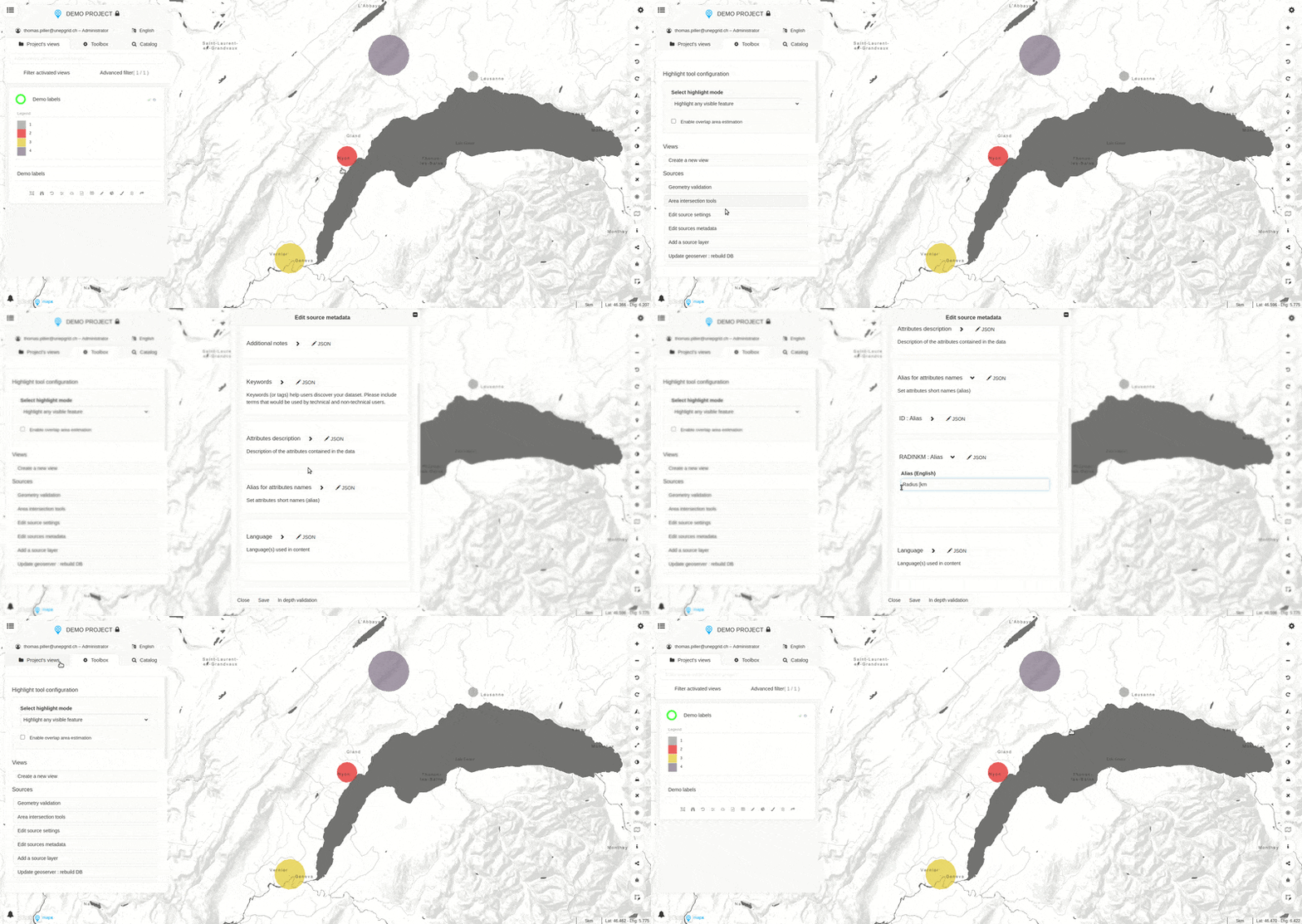
Alias for attribute names: Short names (aliases) for attributes can be defined in this section. It’s often valuable to replace technical or truncated attribute names by something clearer. For example, a source using the attribute name
x_1Mp_meanwould be more comprehensive with: “Average monthly precipitation [mm]”. Aliases are used when the attribute table is consulted or when an feature is queried in the map.
demo_labels#
Language: Language(s) used in dataset content.
Attribution: Data attribution as recommended by the data provider.
Citation: Data citation as recommended by the data provider (e.g., BibTeX entry).
Temporal: Description of the dataset using temporal references.
Issuance:
Periodicity: Frequency at which the data is published or updated.
Release date: Date of formal issuance.
Last update: Date of the latest update.
Range: The time range covered by the data.
Check box: Whether the data has no time range (yes/no).
Start: Initial date covered by the data.
End: End date covered by the data.
Spatial: Description of the data using spatial reference (automatically filled by MapX).
Spatial reference system: Description of the spatial reference system.
Code of the SRS (EPSG)
URL to the SRS code definition
Bounding box: Spatial bounding box of the data using latitude and longitude. A “Update values from source” button is available and allows for recalculating the bounding box from the form.
Contact r: Information about people or organization related to this data (e.g., author, publisher, point of contact).
Function (by default, “Point of contact”)
Honorific
Name
Organisation name
Address
City
State
Postal code
Country
Email (m) (mandatory if a contact is provided)
Source r: Origin of the dataset and how to retrieve it.
Homepage r: Homepage (URL) of the data or, where applicable, that of the data provider.
Sources: Link to retrieve the data.
Check box: Whether the link contains a query to retrieve the data automatically (yes/no).
URL r: Direct link to download the data or, where applicable, link to a webpage where the data is accessible.
Licensing r: If any, description of the data license(s).
List of licenses r: Name and/or description of the license.
Annexes: List of online documents (URL) related to the dataset, such as a technical report or a scientific publication.
m mandatory metadata elements; r recommended metadata elements
