Area intersection tools#
The Area intersection tools enables publishers to perform GIS-like overlap analysis to:
calculate the exact area of overlapping features;
create a new data source from the result of the analysis.
How do I use the Area intersection tool?#
Publishers can access the tool from the Toolbox by clicking on the Area intersection tools button. Analyses are done at the project level, which means that only data sources published in the current project can be used. In addition, to optimize the use of computing resources, analyses are limited to the extent of a single country.
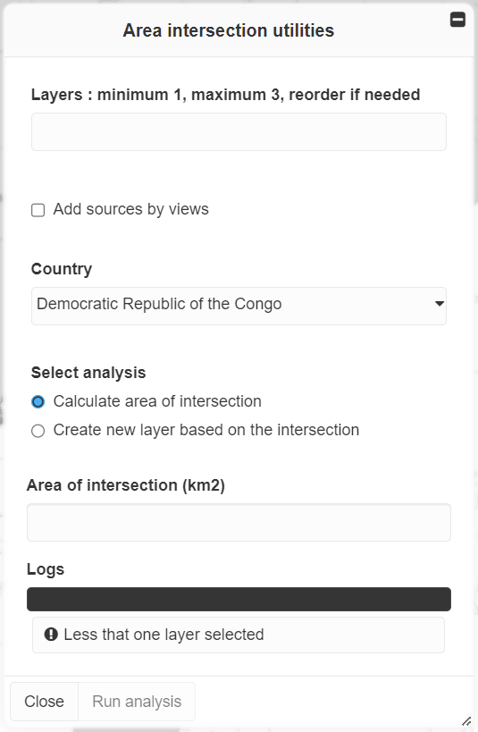
Area intersection tools interface#
To perform an analysis, you must:
Select 1 to 3 data sources. The Add sources by views helper allows to add data sources from the views activated in the map and/or from the title of the views published in the project.
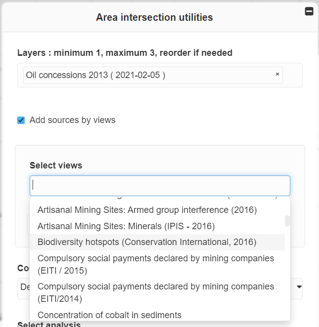
Selection of data sources#
Select a country: the analysis is limited to the extent of a single country (administrative boundaries are from GAUL 2015 ).
Select the type of analysis (both types can be performed one after the other):
Calculate area of intersection: click on Run analysis once the sources have been selected. The overlap area in km2 is displayed in the MapX interface.
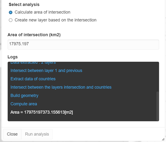
Area of intersection#
Create new layer based on the intersection: Before clicking on Run analysis, you must define the name of the data source that will be published in the current project. Once the analysis completed, you will receive an email informing you that the source is available in the database and you will be able to use it to create new views in the projet.
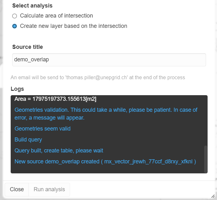
Creation of a new layer based on the intersection#
Note
The Area intersection tools are only available to publishers due to the high resource-load needed to process the data in the back-end. For the same reason, the number of layers that can be used for analysis is limited to 3, plus the administrative boundary of a country.
